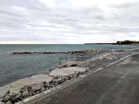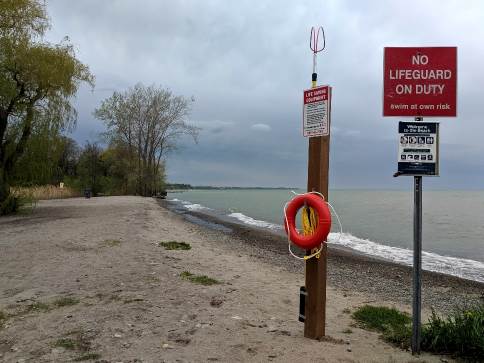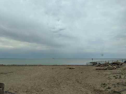
Currently, open-source data pertaining to shoreline vulnerability along Lake Ontario, Lake Erie and the Niagara River is scattered across the internet in differing formats. Decision-makers need to be aware of where the public can access the water visually so that they can quickly and easily assess their best options.
This project aims to increase awareness of areas with shoreline vulnerability by researching and synthesizing open-source data and presenting this data in map application showing a risk matrix along side a list of geographic variables at each location.
- Accumulate open-source data about locations with shoreline vulnerability. - Field survey to ensure the validity data. - Create a map application that displays a risk matrix and a list of geographic variables.


